
Grenada: average net forest area change per year by period
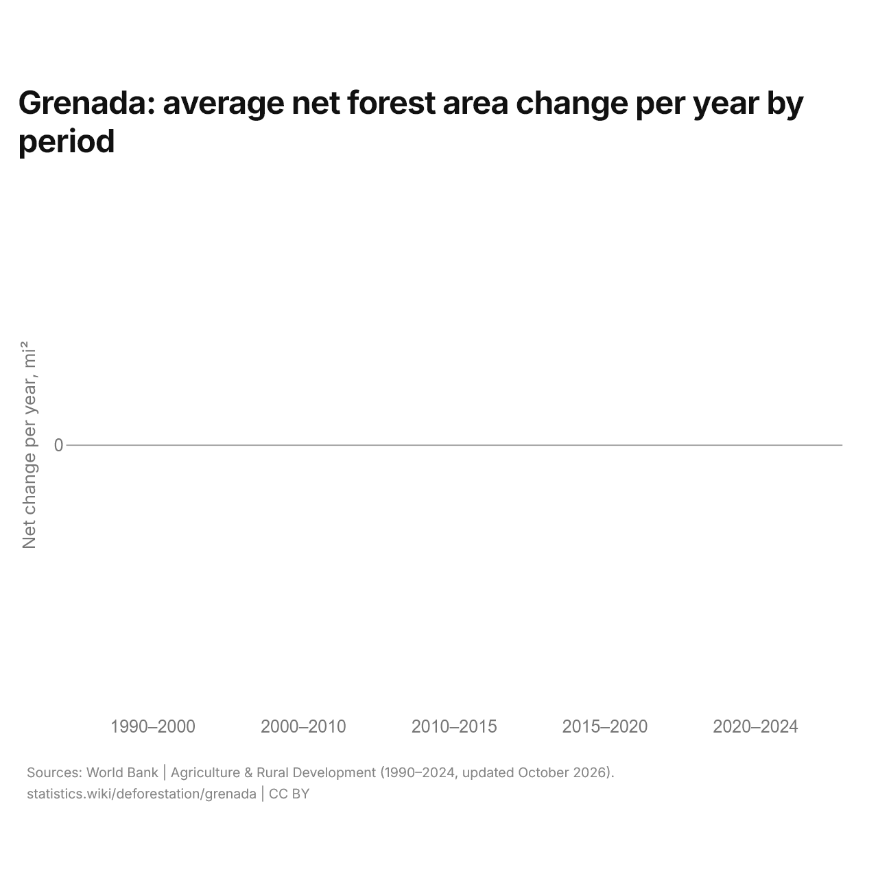
| Period | Forest area at the start, mi² | Forest area at the end, mi² | Net change, mi² | Net change, % | Net change per year, mi² | Net change per year, % |
|---|---|---|---|---|---|---|
| 1990–2000 | 68.3 | 68.3 | 0 | 0% | 0 | 0% |
| 2000–2010 | 68.3 | 68.3 | 0 | 0% | 0 | 0% |
| 2010–2015 | 68.3 | 68.3 | 0 | 0% | 0 | 0% |
| 2015–2020 | 68.3 | 68.3 | 0 | 0% | 0 | 0% |
| 2020–2024 | 68.3 | 68.3 | 0 | 0% | 0 | 0% |
Grenada's forest area has not changed in any period since 1990.
Grenada net forest area change since 1990
| Net change, 1990–2024 | 0 mi² (0%) |
|---|---|
| Average net change per year, 2020–2024 | 0 mi² a year (0%) |
| Rank in Latin America | #22 of 34 |
| Rank, upper-middle income | #28 of 55 |
| Forest area, 1990 | 68.3 mi² |
| Forest area, 2024 | 68.3 mi² |
Grenada and nearby countries: net forest area change since 1990, %
Since 1990, Grenada's forest area has not changed; among the countries near it, Saint Lucia has had the largest gain, 21.2%, and Trinidad and Tobago the largest loss, 6.0%.
Compare the deforestation of Grenada with other countries
Sources:
- World Bank | Agriculture & Rural Development (1990–2024, updated October 2026)
Creative Commons Attribution (CC BY): you may copy, share, adapt and reuse this content, also commercially, as long as you credit statistics.wiki and note any changes you made. The sources listed above may have their own license terms.