
Zambia vs United States: land borders and neighboring countries
Border between the two countries:
none, they aren't neighbors
 Zambia |
 United States |
|
|---|---|---|
| Total length | 3,755 mi | 7,458 mi |
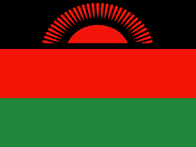
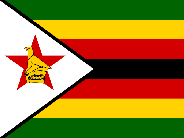
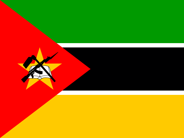
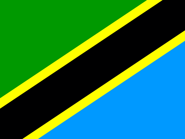
| Neighboring countries | 8 | 2 |
| World rank by total length | 22/157 | 6/157 |
| Rank in region | 6/48 (Africa) | 1/2 (North America) |
| Rank in income group | 6/42 (lower-middle) | 2/50 (high) |
| Neighbors |
|
|
The United States' land borders, 7,458 mi (12,002 km) in total, are 2.0 times as long as Zambia's, 3,755 mi (6,043 km).
Map of Zambia, the United States and their neighboring countries
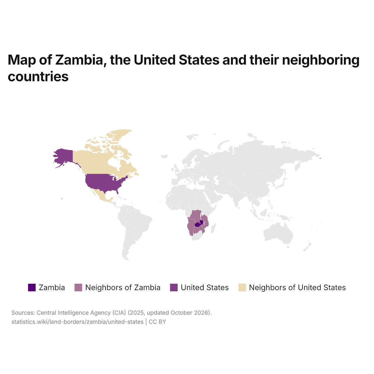
Zambia has eight neighboring countries and the United States two. Zambia and the United States do not border each other.
Zambia border lengths by neighboring country
United States border lengths by neighboring country
Zambia's longest border is the one with the DR Congo, 1,449 mi (2,332 km), and the United States' longest the one with Canada, 5,525 mi (8,891 km).
Compare the land borders of any 2 countries
Sources:
- Central Intelligence Agency (CIA) (2025, updated October 2026)
Creative Commons Attribution (CC BY): you may copy, share, adapt and reuse this content, also commercially, as long as you credit statistics.wiki and note any changes you made. The sources listed above may have their own license terms.