
Malawi total area and land area
| Total area | 45,747 mi² (118,484 km²) |
|---|---|
| Land area | 36,402 mi² (94,280 km²) |
| World rank by total area | 99/197 |
| Rank in Africa | 37/54 |
| Rank, low income | 19/25 |
| World rank by land area | 107/197 |
| Share of world land | 0.06% |
Malawi's total area is 45,747 mi² (118,484 km²), the 99th largest in the world, and its land area 36,402 mi² (94,280 km²).
Malawi's total area is the 37th largest of the 54 countries of Africa, and 0.39% of the region's total.
Malawi total area compared with US states
| State rank | State | Total area, mi² | Total area difference |
|---|---|---|---|
| 2 | Texas | 268,597 | 5.9× |
| 31 | Louisiana | 52,378 | 1.1× |
| 32 | Mississippi | 48,432 | 1.1× |
| 33 | Pennsylvania | 46,054 | 1× |
 Malawi |
45,747 | ||
| 34 | Ohio | 44,826 | 0.98× |
| 35 | Virginia | 42,775 | 0.94× |
| 36 | Tennessee | 42,144 | 0.92× |
Malawi in the world ranking by total area
Malawi and its neighbors: total area
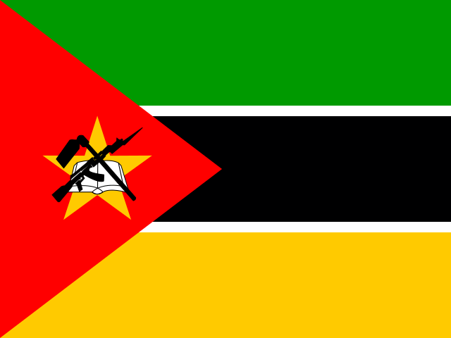
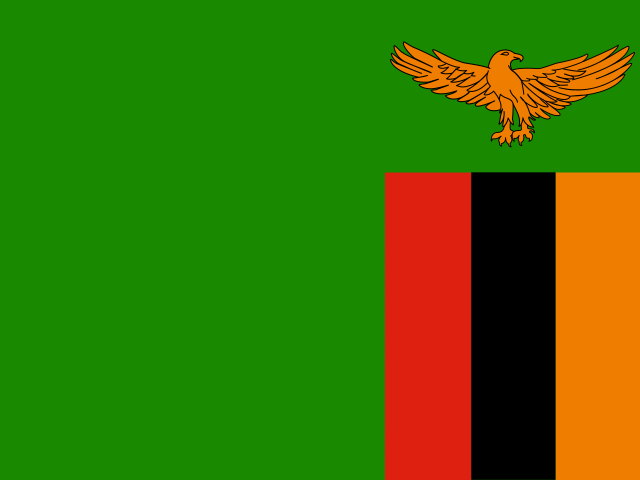
Of Malawi and its three neighbors, Tanzania has the largest total area, 365,756 mi² (947,303 km²), and Malawi the smallest, 45,747 mi² (118,484 km²).
Compare the size of Malawi with other countries
Sources:
- World Bank | Agriculture & Rural Development (2026, updated October 2026)
Creative Commons Attribution (CC BY): you may copy, share, adapt and reuse this content, also commercially, as long as you credit statistics.wiki and note any changes you made. The sources listed above may have their own license terms.